|
2.1
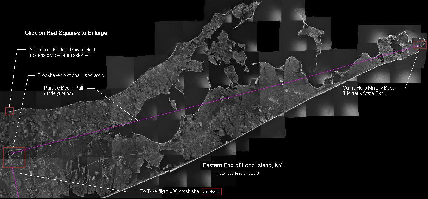
Aerial Photo Analysis:
The photo below is a composite image, created from USGS
(united states geological survey) aerial maps, showing the
eastern end of Long Island, New York. This photo
illustrates the geographic relationships between the various
facility locations and events. The red squares are embedded
links to the individual analysis pages.
|